Atlas2024In Czech
Atlas pražských kuriozit
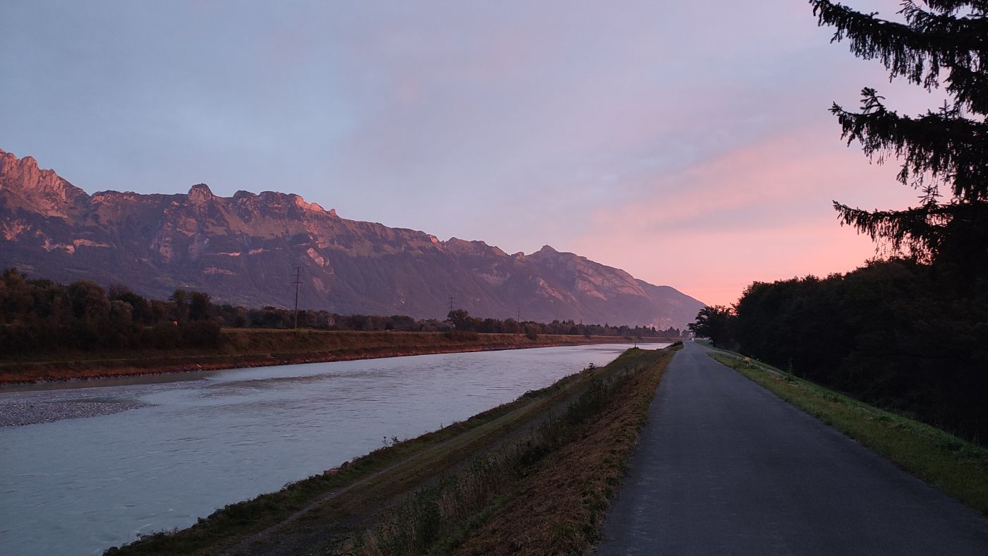
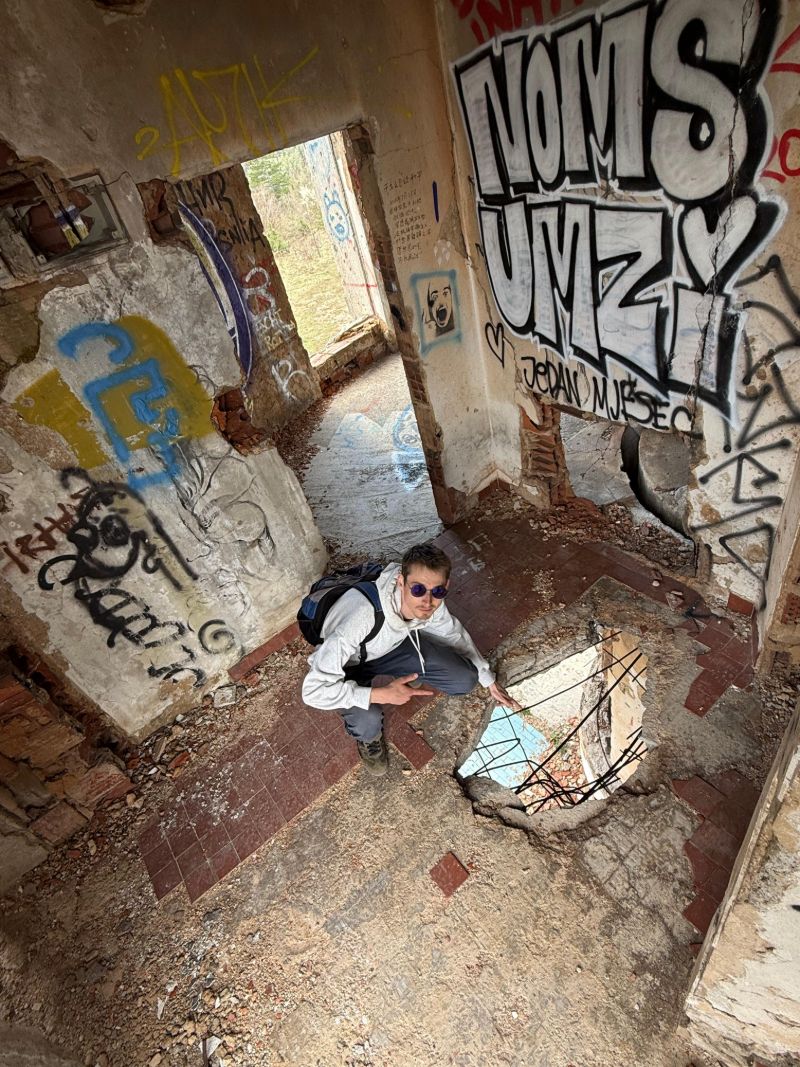
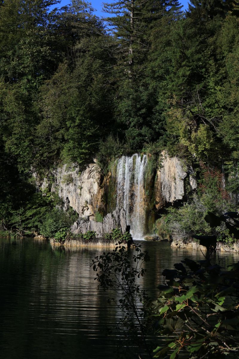
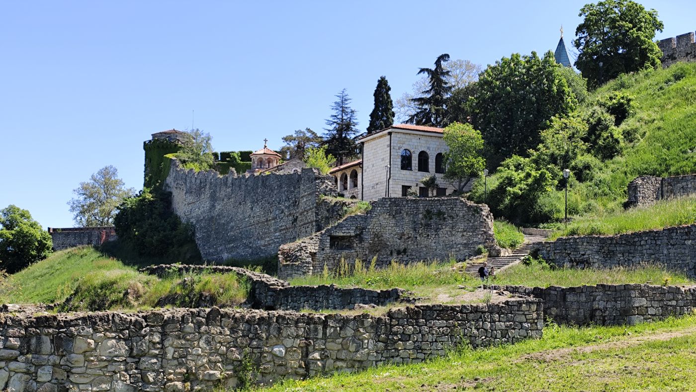
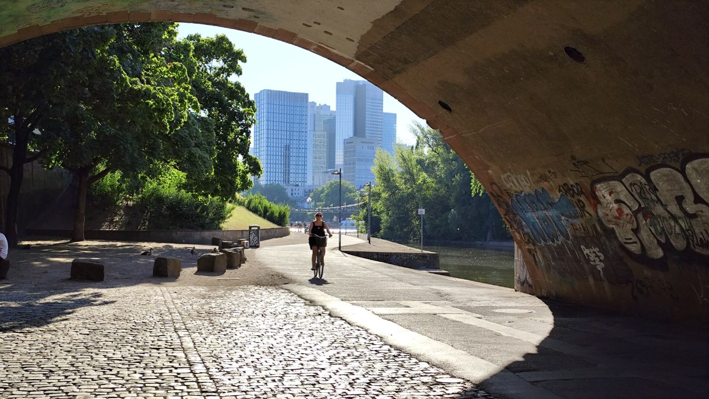
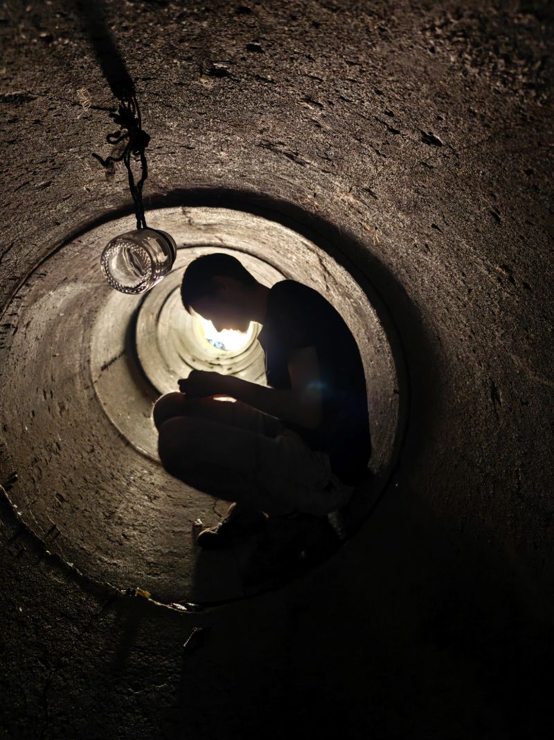
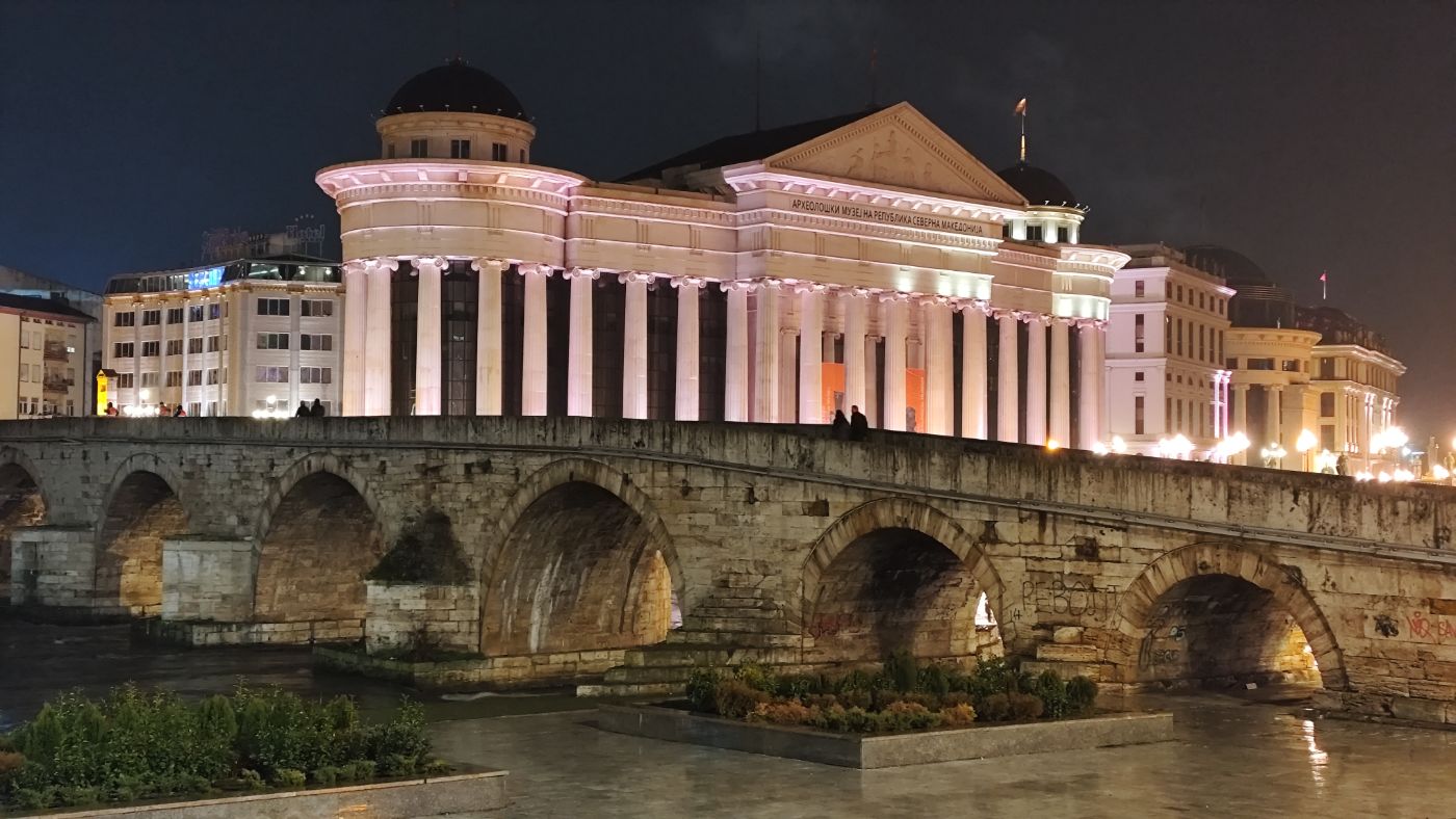
A thematic atlas created as my Bachelor's thesis, exploring Prague through a geographer's lens. Instead of famous landmarks, it maps places that are neither widely known nor conventionally pretty, but always genuinely intriguing and curious. Across six chapters, it connects spatial analysis with on-the-ground fieldwork, spanning everything from underground tunnels and hidden waterfalls to urban extremes.
Open the atlas ↗

Workshops2025 – present
GIS and remote sensing workshops
An educational initiative organized by GeoArts under a Charles University sustainability grant. We run hands-on workshops for secondary schools across Czechia, covering satellite-based drought monitoring, wildfire analysis, and solar energy suitability. All teaching materials and methodologies remain open-access for educators.
About the workshops ↗

Article2024In Czech
Jak se staví byty v Česku
A popular science article for Přírodovědci.cz magazine, reviewing housing construction trends over the past decade. Using municipality-level data, it highlights distinct spatial patterns – from massive suburbanization around major cities to an isolated boom in mountain recreational properties.
Read the article (p. 14) ↗

Event2025
GeoScience Party
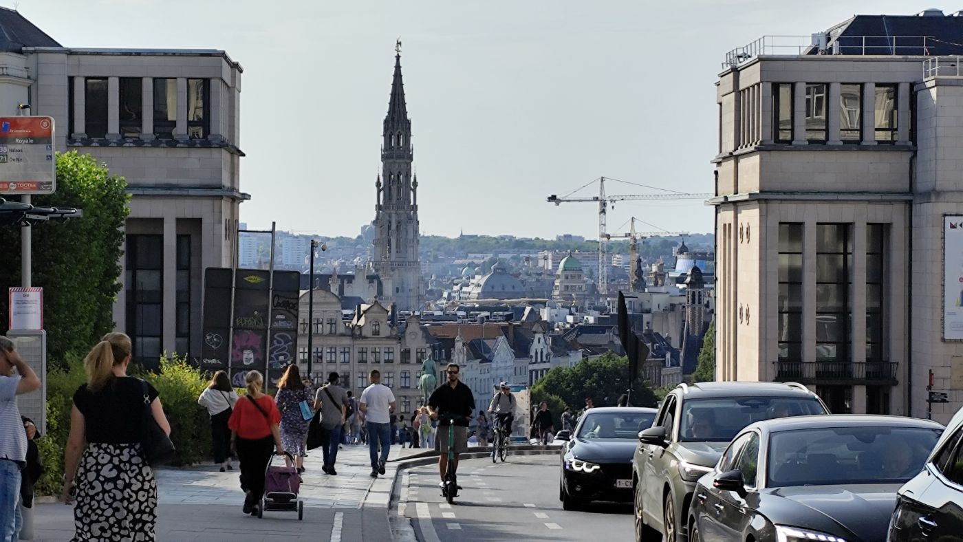
An international event at the Faculty of Science, Charles University, marking the 25th anniversary of geocaching, which drew more than 600 visitors. It combined a full-day programme of talks by experts from academia, IT, and the caching community with guided tours of faculty museums and the Map Collection. It was a great opportunity to bring geosciences and modern geoinformatics closer to the public.
Event listing ↗
Atlas2026In English and Slovene
Atlas of Postojna:Landslide susceptibility mapping
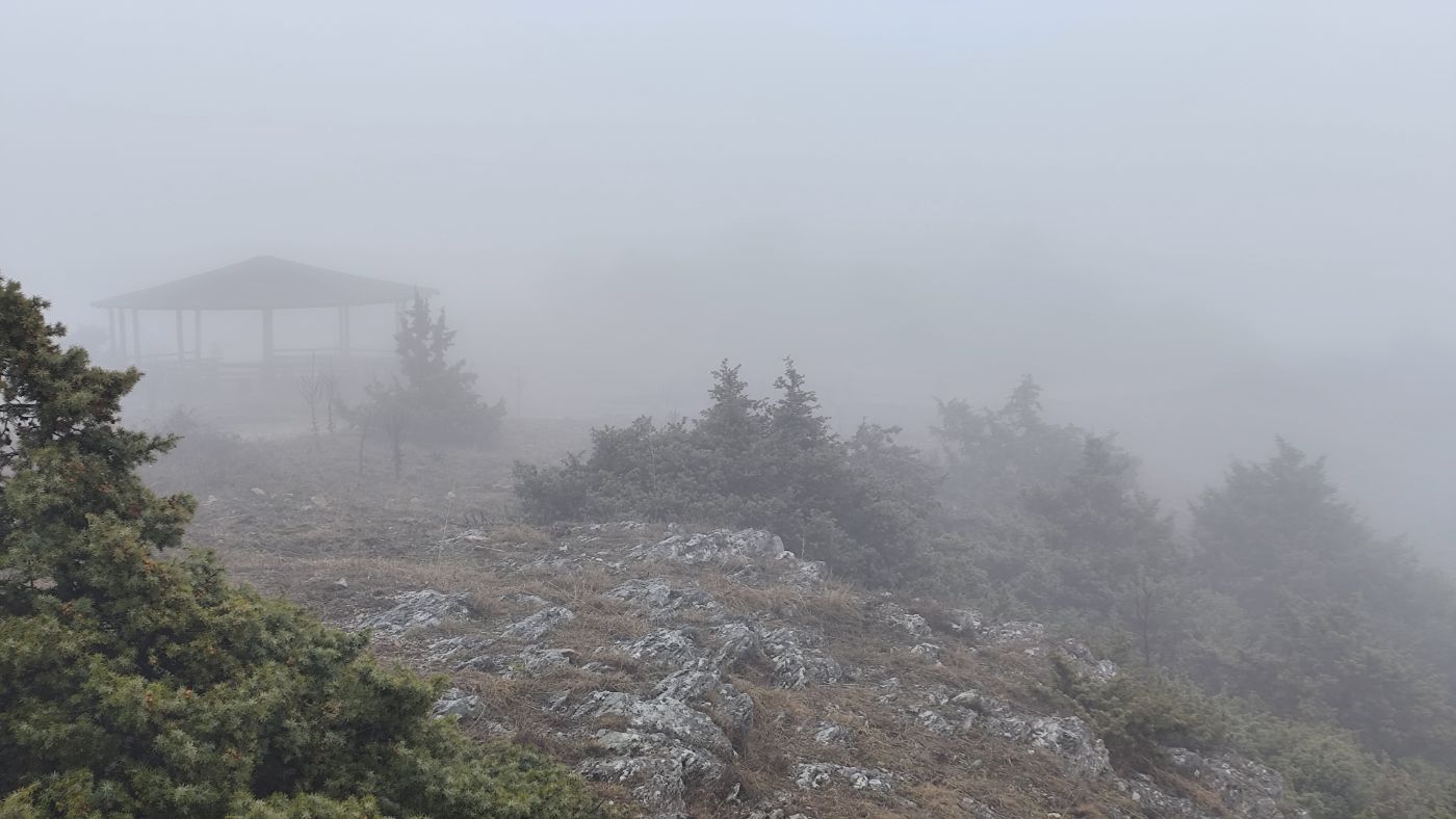
A specialized atlas developed during my exchange at the University of Ljubljana in cooperation with the Municipality of Postojna. It focuses on spatial modeling of landslide susceptibility using multi-criteria spatial analysis in GIS.